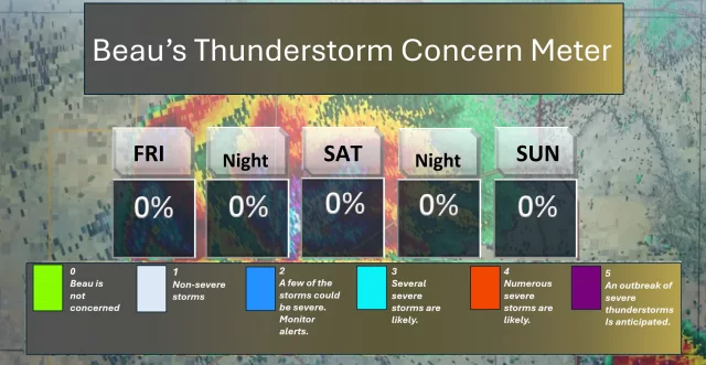
Warmer this weekend. Monitoring thunderstorm chances.
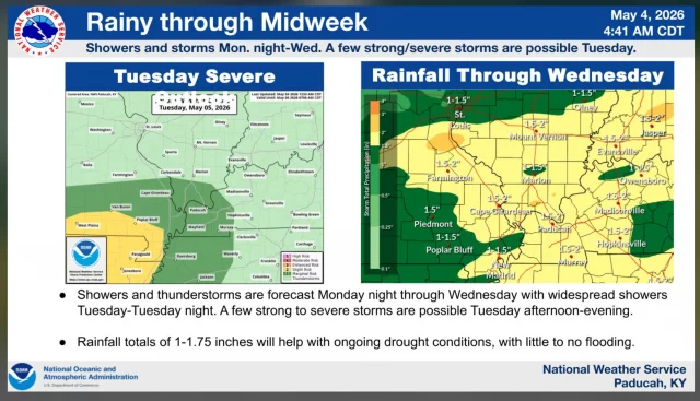
Rainfall total maps through next Wednesday morning. Slow-moving thunderstorms can enhance totals.
Read update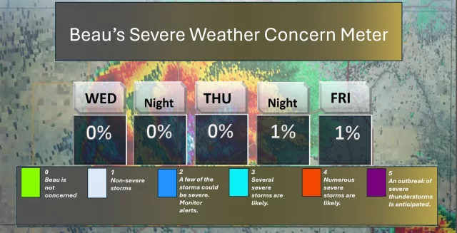

Forecasts and weather updates from Beau Dodson.
Rainfall total maps through next Wednesday morning. Slow-moving thunderstorms can enhance totals.
Read updateNo weather concerns today. A couple of showers and thunderstorms will be possible tonight. Mainly over the northern portions of southeast Missouri, southern Illinois, and northwest Kentucky. Don't expect much.
Read update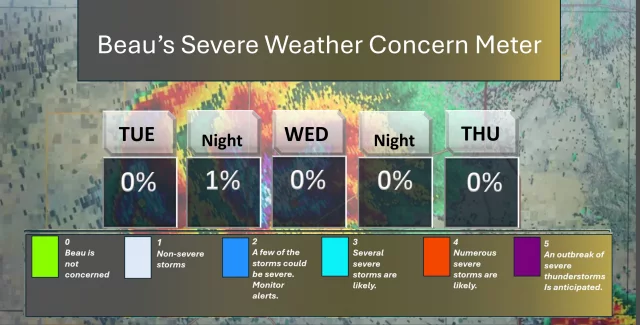
High pressure will move from the Great Lakes to the East Coast today through Tuesday. This will bring dry weather and plenty of sunshine.
Read update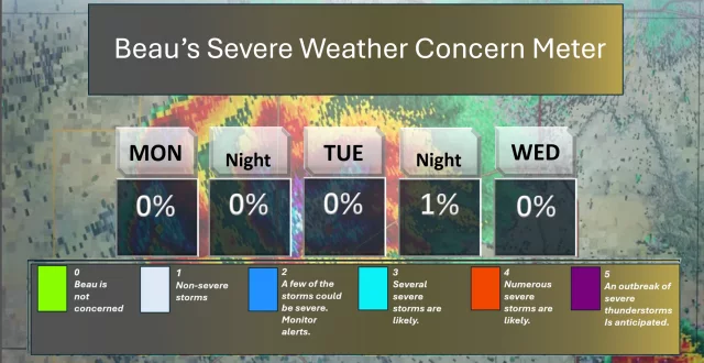
A nice day ahead of us. Scattered showers and thunderstorms are possible late this afternoon and evening over the northern portions of southeast Missouri and the northern portions of southern Illinois.
Read update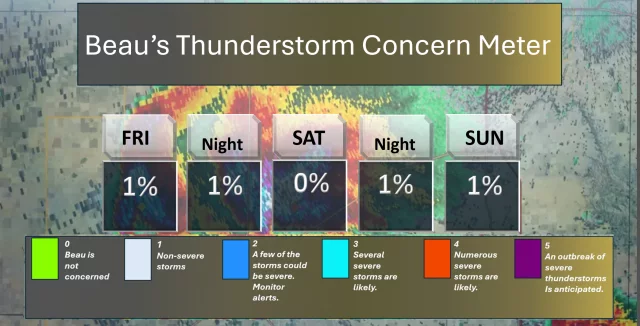
Temperatures will start to warm up a little today as high pressure moves across the area and sunshine returns. However, cooler air in the upper atmosphere will keep temperatures below normal, with highs staying in the 60s today. Humidity…
Read update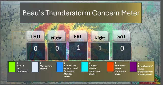
Widespread rain moved through the region last night. Some showers continue this morning.
Read update
Numerous showers and scattered thunderstorms will move southeast across the entire region today. Rain chances will increase to 80–100% by this afternoon and evening, meaning most areas will see rain.
Read update
Numerous showers and scattered thunderstorms will move southeast across the entire region today. Rain chances will increase to 80–100% by this afternoon and evening, meaning most areas will see rain.
Read updateThere are some storms early this morning across portions of the I-64 corridor and the Evansville Tri-State area.
Read update