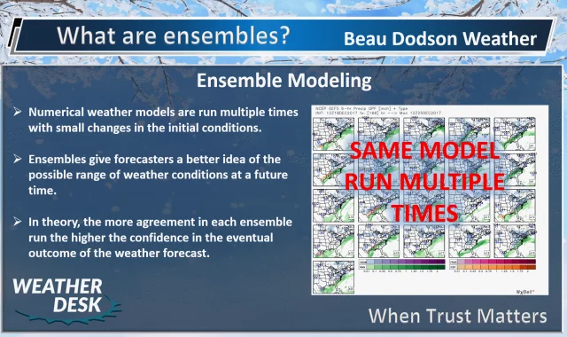
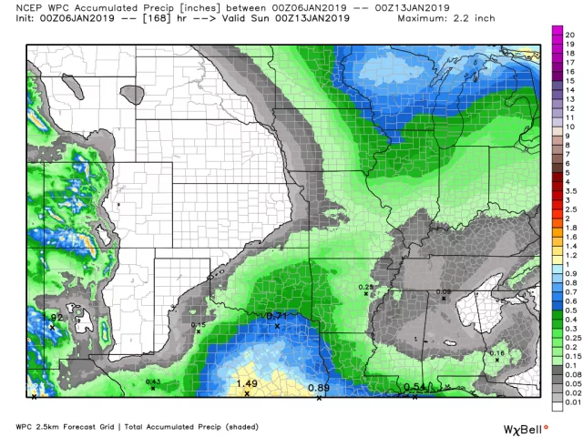
Subscribers post. Monitoring rain chances. If you are a subscriber and need the password then email me at beaudodson@usawx.com
Read update

Forecasts and weather updates from Beau Dodson.
Saturday 12th: Yes. Wet snow and a wintry mix are possible across mainly northern parts of southeast Missouri and northern portions of southern Illinois before changing to rain. Elsewhere, rain is likely.
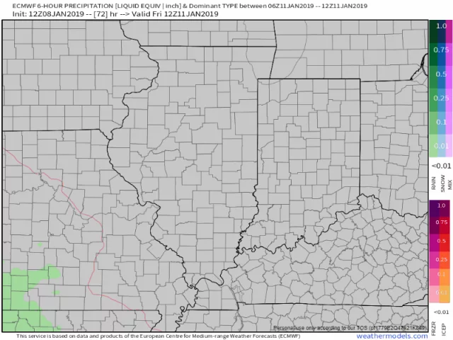
Read updateFriday 11th: A mixture of rain, freezing rain, sleet, and snow. The greatest chance of impacts would be southeast Missouri and southwest Illinois. Roads are cold. Precipitation falling onto the cold roads could cause icy spots. Monitor…
Read update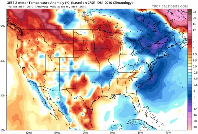
Friday 11th: Snow and sleet are possible. The greatest chance would be southeast Missouri and southwest Illinois. Others should monitor trends.
Read update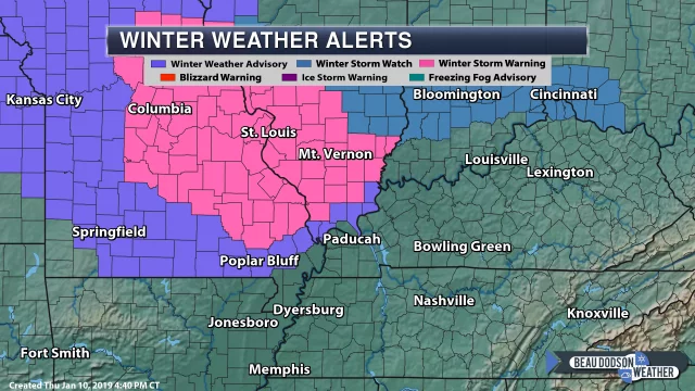
Friday 11th: Snow and sleet are possible. The greatest chance would be southeast Missouri and southwest Illinois. Others should monitor trends.
Read update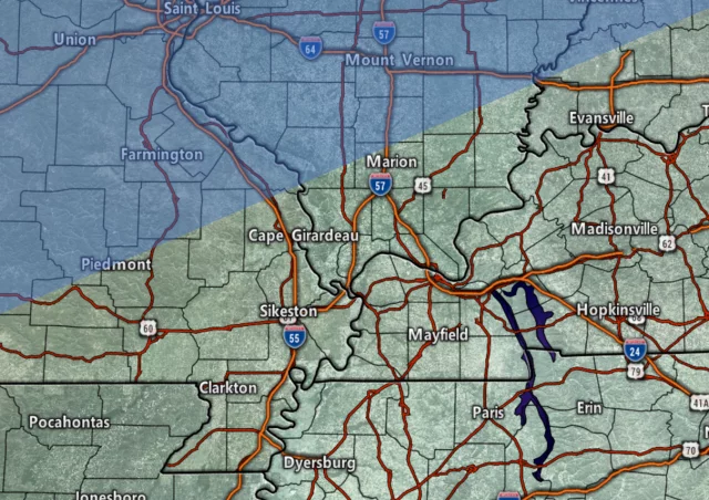
A cold front is pushing across the region. This front is the reason we have clouds and spotty showers. Shower activity will peak later this morning into the afternoon hours. A band of showers will push east to west across…
Read update